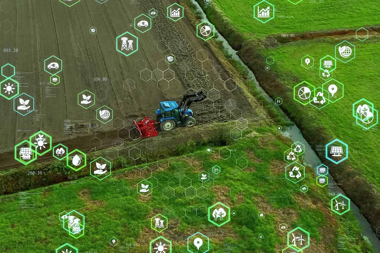
AgTech: a land of opportunity for satellite imagery

The growing use of new technologies and farm data has enabled the AgTech market to grow at an unprecedented rate. Between the abundance of new start-ups, consolidation around the “Big 4” of agri-business, and the arrival of the big IT players, the market has been in constant flux for the past 5 years. What is the situation in 2020? How does satellite imagery fare?
100 years of global service platforms to optimize farmers’ work
The use of data generator technologies (geolocation, on-board sensors on machines or sensors on the ground, aerial imagery, etc.) and their processing to better manage agricultural activity have naturally led to the emergence of new services. These services, which have been offered to farmers for several years now, can be categorized as follows:
- Services for better farm management and tracking of activities: integration of FMIS-type modules for planning and monitoring operations, tracking of fertilization data for nitrogen-regulated countries, etc.
- Agricultural equipment control and management services: equipment geolocation, predictive maintenance, sending instructions directly to machine consoles, even remote control, etc.
- Decision support services on the agronomic level: optimization of yields thanks to a better knowledge of crop needs, the use of historical data and a real-time view of the fields (weather, growth variation at intra-plot level, etc.) enabling the best decisions to be made (modulation of inputs such as fertilizers, irrigation, choice of the best time for harvesting, etc.).
From 2015, these services were offered, in whole or in part, to farmers, following the model of service platforms (PaaS). Today, these platforms are very numerous – estimated at several hundred – because the scope of services is very broad and barriers to entry are low. This is particularly true for decision support services. But not all of them are reaching the expected audience and a contraction of this market is to be expected in the coming years.
+1600 AgTech start-ups challenge and attract traditional players
In addition to the presence of traditional agro/agri-business players, these platforms are largely developed by start-ups that combine their digital know-how with agronomic expertise. Several ecosystems have been formed, notably in North America (US and Canada), Western Europe, but also in Israel, Australia, China, and several Latin American countries.
The Better Food Ventures investment consortium, as reported by Forbes newspaper, counts nearly 1600 start-ups developing solutions around AgTech in the fall of 2019. This teeming innovation ecosystem is enabling many of the sector’s rather traditional manufacturers – the famous Big 4 (machinery, fertilizers, crop protection products, seeds) – to build cutting-edge platforms. Indeed, several capital buyouts or investments in AgTech start-ups have been observed. As an example, we can cite the acquisition of the supplier of the Adapt-N solution by Yara (2017), but also the acquisition of Farmshots by Syngenta (2018), of Granular by DuPont Pioneer (2017), or more recently BASF’s investment in Hummingbird Technologies (2019).
While each of these players seems to position itself on specific services, close to its traditional expertise, all seem to be looking for tomorrow’s know-how to integrate into their portfolio (a fluid user experience, new processing algorithms…). The IT giants are not to be outdone and are entering the race as early as 2017, as IBM, for example, announced last year a strategic partnership with the company Yara to develop a new platform dedicated to precision agriculture.
Satellite imagery: the essential asset of a platform of agronomic services
Among all the data sources made available within the platforms, satellite imagery is a major asset. In addition to be a plot visualization tool, it allows us to observe the evolution of biomass and thus provide information on crop health and growth in real time. Satellite imagery makes it possible to cover large areas with a more regular revisit rate than imagery by drone or plane, which are however more adaptable means. The NDVI method, commonly used on the market, or the method based on biophysical parameters (developed by Airbus Defense and Space) make it possible to extract useful information from the images. This information can thus be used to assess the state of health of the plant in order to control the supply of inputs, evaluate the progress of deforestation, etc.
Many agronomic service platforms are choosing to integrate satellite imagery. Some process the satellite data on their own, while others supply themselves as products where the satellite image has already been fully or partially processed. Thus, several key players such as Airbus Defense and Space, Planet Labs, UrtheCast, or Earth-I are working together to provide imagery and are developing specific products to supply these platforms (e.g. Airbus Defense and Space’s Verde offer).
Beyond agronomic considerations, since the end of 2019, the time has come to diversify the services offered by Agtech, particularly in order to meet new challenges: greater transparency and traceability around the food production system while encouraging more reasoned agriculture. Will the satellite enable precision agriculture to meet these challenges? Stay tuned!
About the authors:
Marine, Cléa and Laurence, Consultants in Alcimed’s Life Sciences and Aerospace Defence teams in France
Do you have an exploration project?
Our explorers are ready to discuss it with you